El Salado Basin
Water
San Luis Potosí, México
In the Potosí highlands, where water becomes scarce and soil loses its fertility, communities have decided to regain balance with nature. Hand in hand with ejidos and communities, we implement nature-based solutions that allow water to infiltrate, stabilize soil and regenerate native vegetation. With each border, each reforestation and each enclosure, the land once again retains water and communities strengthen their future.
349
K
cubic meters
of volumetric water benefits
480
hectares
positively impacted by nature-based solutions
25
K
plants
reforested
2
ejidos and communities
involved
(01)
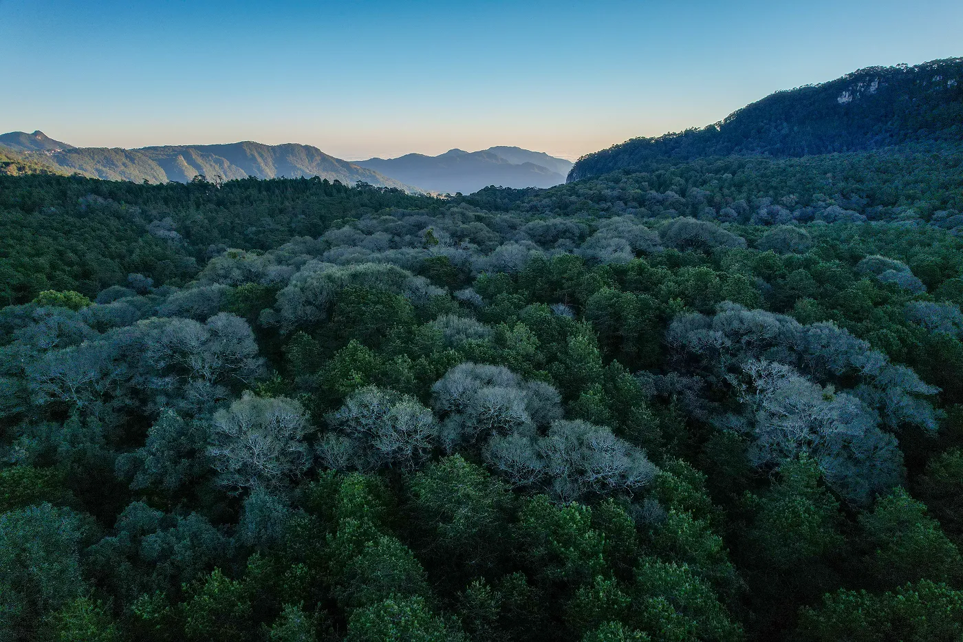
The context
Where Roots Reach for Water Again
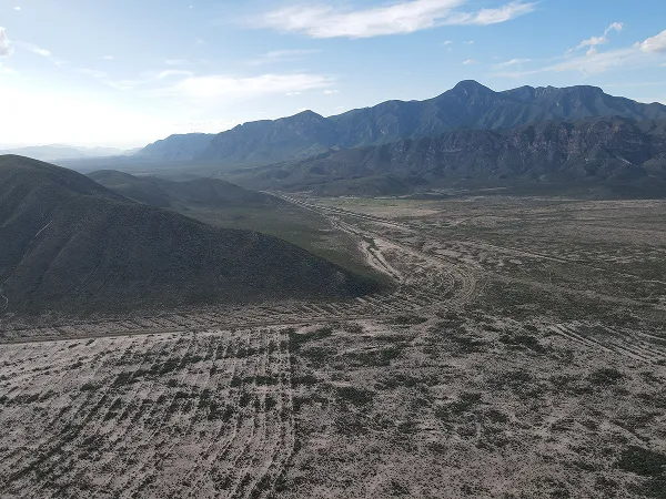
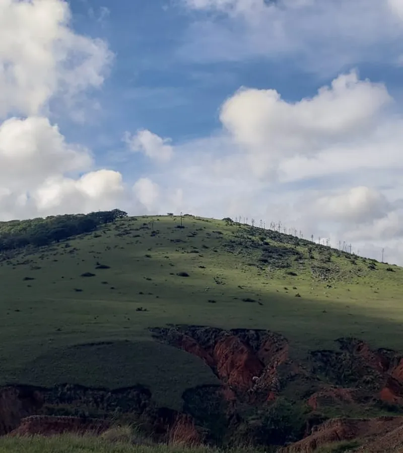
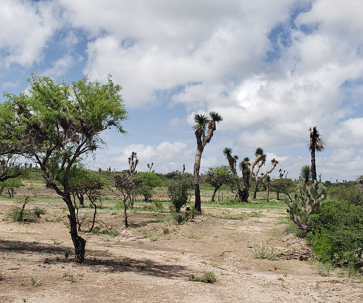
In the Potosí semi-desert, life makes its way through scrub, oak and pasture that withstand a climate marked by scarce rain. In this landscape of contrasts, communities have historically relied on storm agriculture and extensive livestock farming, activities that sustain rural life but which today face increasing pressure due to lack of water.
In this scenario, we find the El Salado basin, where the water challenge is intensifying: erosion, irregular rainfall and overexploitation of resources limit productivity and jeopardize the resilience of ecosystems. Faced with this, sustainable water management becomes the starting point for regaining the vitality of the territory and opening up new opportunities for the communities that inhabit it.
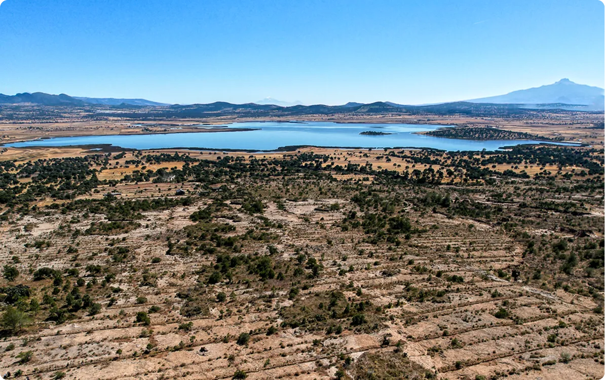
Location
San Luis Potosí, México
Dimensions
The project is being developed in the El Salado basin, within the San Luis Potosí aquifer, which covers a total area of 2,061 km2. The direct intervention is concentrated on 480 hectares, distributed in the Monte Caldera and Jesús María ejidos, within the municipality of Cerro de San Pedro, SLP
Productive Activities
The local economy is based on seasonal agriculture and extensive livestock farming, both of which are low profitable and limited by water scarcity. There is also unordered tourism, although with high potential to develop in rural and community mode thanks to the natural and cultural heritage of the region.
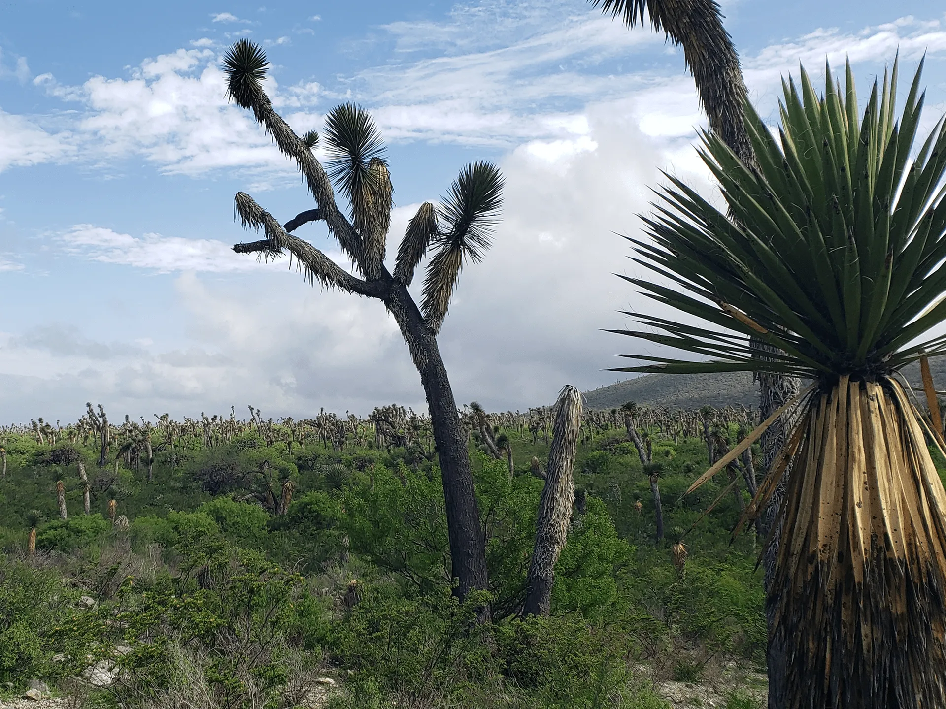
Vegetation
Xerophilous scrub
Fauna
Mammals such as coyotes (Canis latrans), gray fox (Urocyon cinereoargenteus), hare (Lepus spp.), rabbit (Sylvilagus spp.); scrub birds (roadrunners) Geococcyx californianus, sparrows, cardinals); reptiles such as rattlesnakes of the genus Crotalus And lizards like that Sceloporus.
Flora
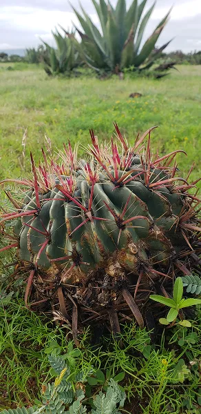
Species such as Prosopis laevigata (mesquite), Vachellia/Acacia farnesiana (huizache), Opuntia spp. (nopales), cacti such as Mammillaria and Ferocactus, shrubs such as Larrea tridentata (governor) and Sotol (Dasylirion); trees such as Encinos Quercus spp and pine trees Pinus spp.
Certifier
Protocol
Verifier
(02)
The activities
On-the-Ground Action
Environmental Analysis and Management
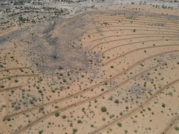
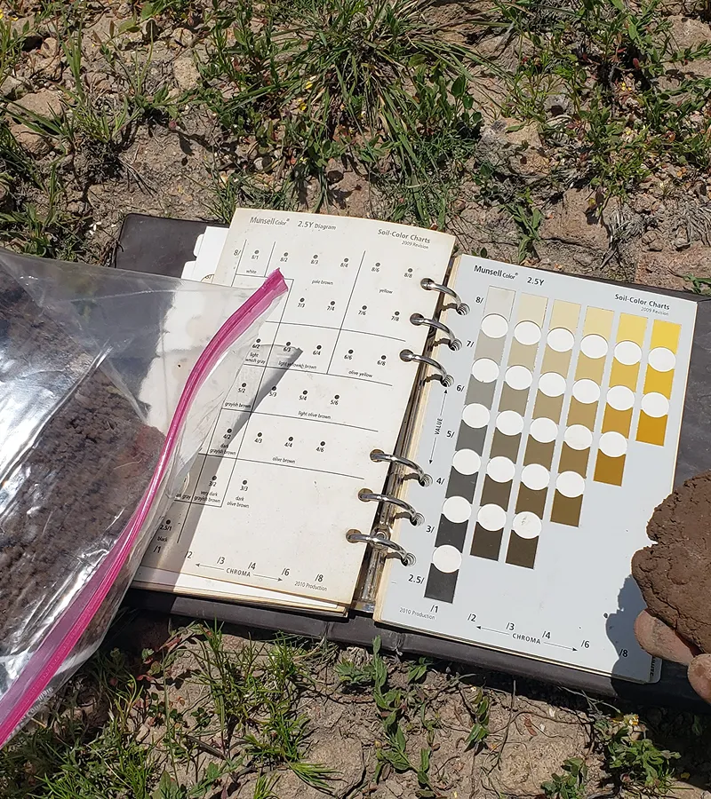
We started with a territorial analysis to identify priority areas for intervention, evaluating erosion, runoff and land tenure. The objective is to reduce soil loss and increase water recharge, adapting actions to local dynamics.
Identifying Priority Areas
Six key polygons covering 480 hectares were defined, with actions aimed at reducing soil loss and encouraging water infiltration.
Intervention Area Definition
Land tenure and analysis of local activities were included to ensure that restoration actions are adapted to the needs of the territory.
Hydrological Model
We implement the SWAT model to evaluate water impact before and after interventions, integrating soil, vegetation and climate data, allowing us to measure the real efficiency of the actions implemented.
Evaluation with Historical Data
1,105 ML of runoff was measured annually under degraded conditions, serving as a reference for evaluating the impact of the restoration.
Water Retention Results
Thanks to the interventions, it was possible to infiltrate approximately 829 ML per year, reducing runoff by 25% and strengthening the recharge of aquifers.
NbS
NbS combine natural infrastructure and reforestation with native species to stabilize soil, improve infiltration and regenerate key ecosystems such as semiarid scrub.
Key Actions Implemented
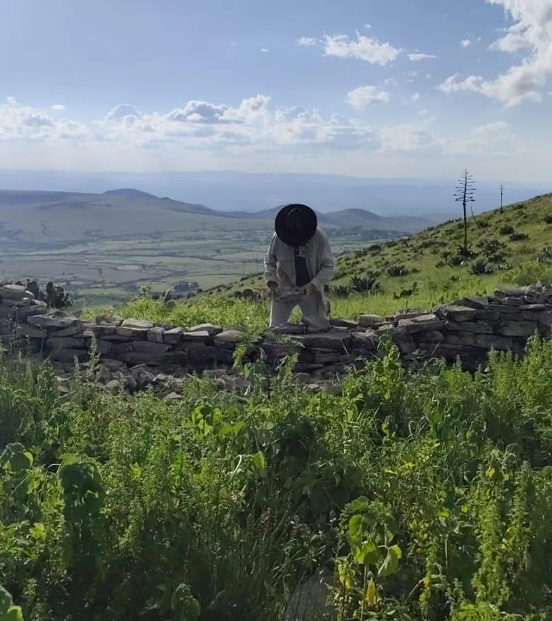
Edges were implemented in contour lines and other works covering more than 350 hectares, designed to curb erosion and promote water infiltration.
Reforestation with Native Species
It was reforested with species such as Agave salmiana and native scrub vegetation, regenerating vegetation cover and improving biodiversity.
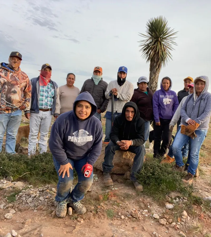
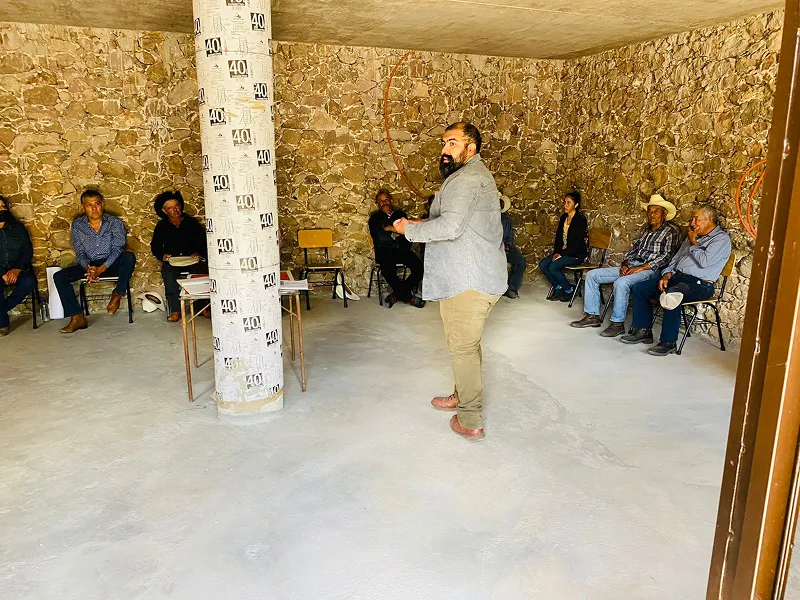
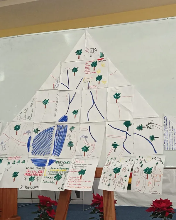
Workshops and Training
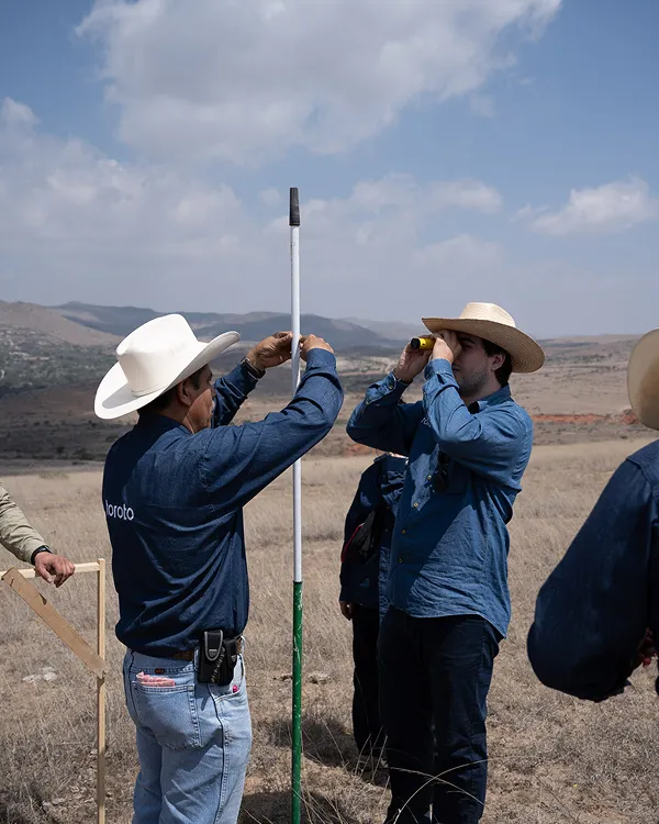
We strengthen community organization and local knowledge through participatory workshops that promote conservation, territorial governance and care for the environment.
Workshops Delivered
More than 75 people participated in workshops on watershed management, governance and conservation, promoting skills applicable to the local context.
Impact and Engagement
Local brigades committed to environmental care were formed, ensuring the continuity of actions and the community roots of the project.


(03)
The Turning Point

NbS in Harmony with the Landscape
We carry out a series of soil and water conservation works that mimic natural processes and whose main objective is soil retention, reducing surface runoff and encouraging water infiltration. These actions are carried out in the upper and middle parts of the hills and hills to mitigate the progression of their degradation.

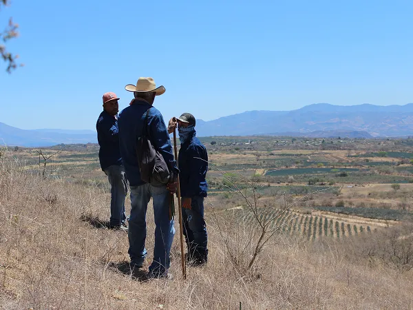
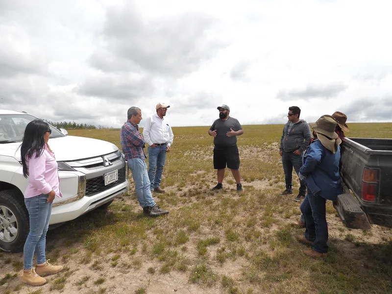
Governance Leads the way
In ejido and community territories, local governance is the starting point. Communities not only authorize, but they lead the direction of the project: they identify priorities, participate in the design of interventions and guide their implementation. This approach ensures that actions respond to the real context and strengthen long-term ownership of the process.

A Portfolio with a Territorial Approach
Our portfolio ranges from tailor-made projects for companies that seek to compensate for the water they use in specific territories, to collaborative interventions that can be co-financed by different actors through our platform of projects ready to implement.
(04)
The Impact
Conservation with co-benefits

Stewarding the Land for the Future
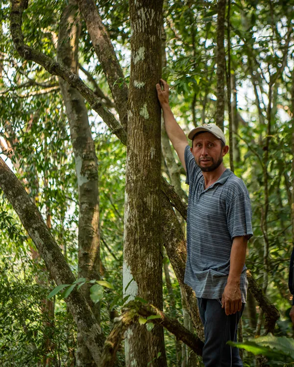
We conduct regular evaluations to strengthen ecological restoration efforts from the start of the project. This includes ensuring the survival of reforestation areas, effective maintenance of soil conservation works, preventive pest and fire control and, when applicable, monitoring the performance of productive projects.

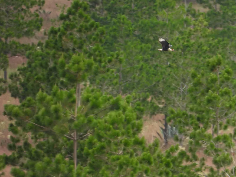
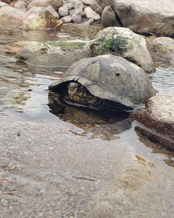
Biodiversity Follows Water
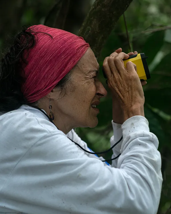
Through active monitoring — such as field trips and camera traps in strategic areas — we evaluate the presence of wildlife and identify areas of ecological connectivity. Thus, we ensure that the restoration not only captures water and carbon, but also recovers the functionality of the ecosystem.
Building Local Capacities
The workshops and training are focused on providing new knowledge to promote a better relationship with nature and to be able to publicize the importance of the actions carried out in each of the Toroto projects. We show how to carry out fieldwork following an internationally recognized methodology. In addition, there are trainings aimed at ensuring the safety of brigade members and workers.
(04)
The Impact
Conservation with co-benefits
.jpg)
Stewarding the Land for the Future
We conduct regular evaluations to strengthen ecological restoration efforts from the start of the project. This includes ensuring the survival of reforestation areas, effective maintenance of soil conservation works, preventive pest and fire control and, when applicable, monitoring the performance of productive projects.
Biodiversity Follows Water
Through active monitoring — such as field trips and camera traps in strategic areas — we evaluate the presence of wildlife and identify areas of ecological connectivity. Thus, we ensure that the restoration not only captures water and carbon, but also recovers the functionality of the ecosystem.
Building Local Capacities
The workshops and training are focused on providing new knowledge to promote a better relationship with nature and to be able to publicize the importance of the actions carried out in each of the Toroto projects. We show how to carry out fieldwork following an internationally recognized methodology. In addition, there are trainings aimed at ensuring the safety of brigade members and workers.
Regenerating nature, one project at a time
We do important things differently.