Aguanaval Basin
Water
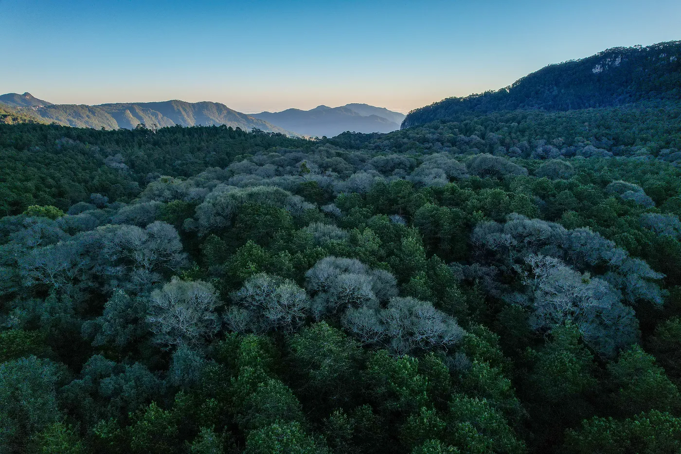
Torreón, México
In the RH36db sub-basin of Torreón, soil and water face increasing pressure that puts the life of the territory at risk. To respond to this challenge, we work together with local communities to restore soil and recover native vegetation. With conservation and reforestation works, we strengthen the desert's capacity to infiltrate water, sustain biodiversity and ensure a more resilient future for those who depend on it.
333
K
cubic meters
of volumetric water benefits
560
hectares
positively impacted by nature-based solutions
60
K
specimens
reforested

(01)
The context
Water That Finds Its Way Back to the Desert
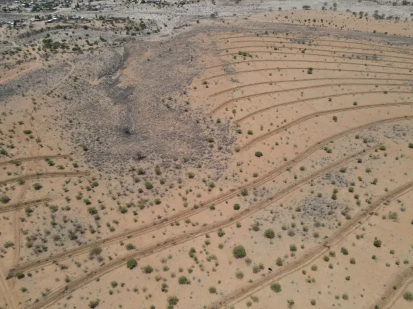
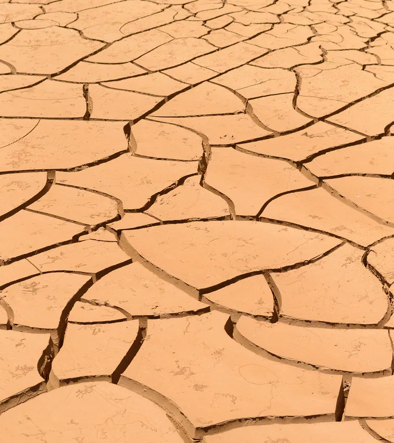
In Torreón's RH36db sub-basin, water scarcity and loss of surface soil represent a critical threat to the region's environmental balance and water security. Erosion degrades soil, reduces agricultural productive capacity and increases hydrogeological risks such as landslides and floods, in addition to causing the loss of nutrients and biodiversity. This pressure on ecosystems commits aquifer recharge and resilience to prolonged droughts.
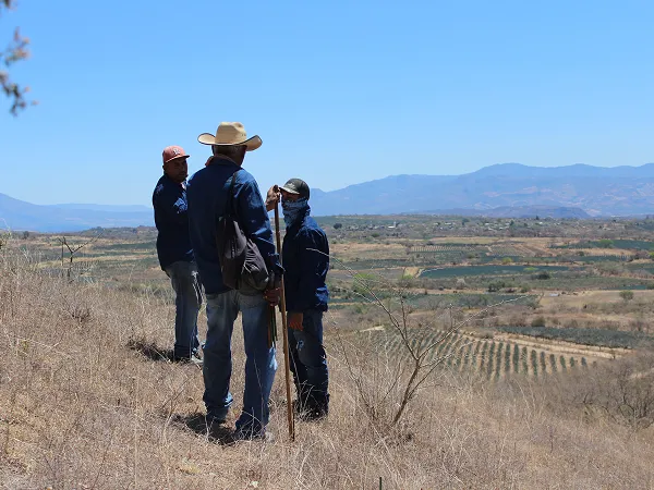
At the social level, these conditions affect the well-being of ejido communities, limiting the availability of water for consumption and production, and reducing local economic opportunities. Faced with this scenario, the project works hand in hand with three ejidos and key actors in the region to reduce runoff, increase water infiltration and restore ecosystems, guaranteeing both immediate and long-term benefits.
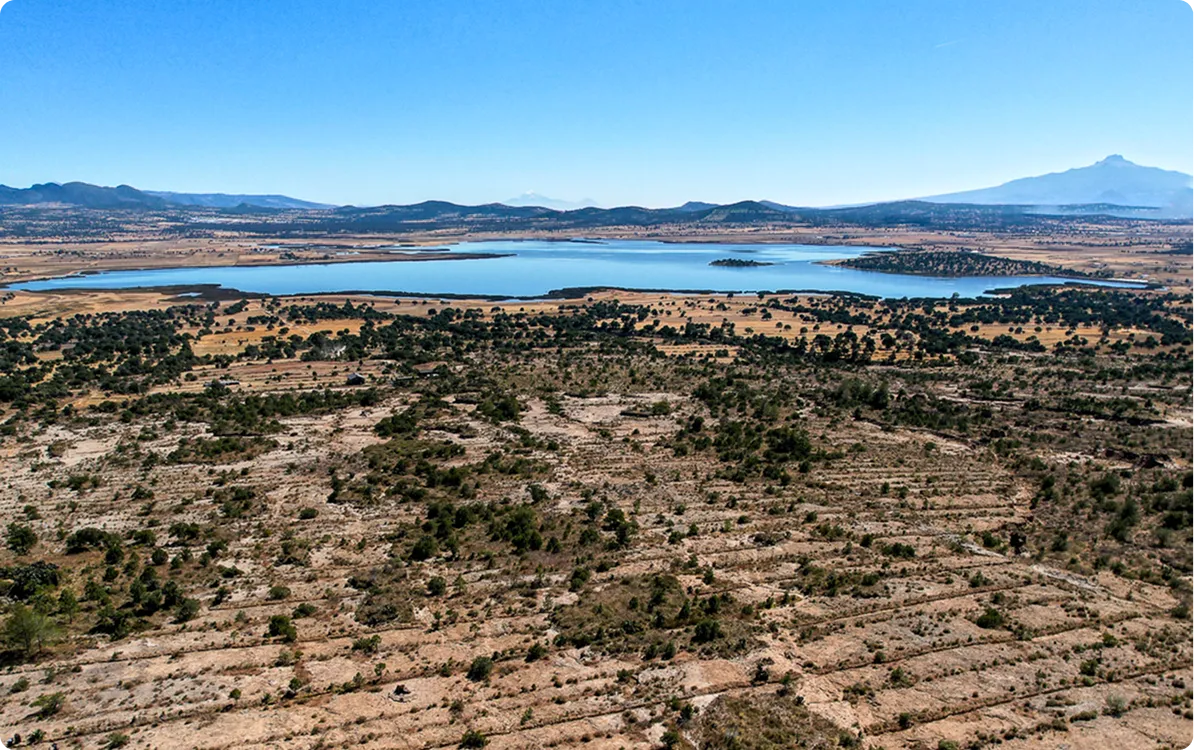
Location
Torreón, México
Dimensions
The project is developed on 560 hectares of the RH36db sub-basin, part of the Nazas-Aguanaval river basin, which covers about 37,716 hectares belonging to the Barreal de Guadalupe, La Colonia and Fichi de Calvo ejidos.
Productive Activities
The use of natural resources such as candelilla, mainly used for the production of wax, stands out; oregano, used for both medicinal and nutritional purposes; and species such as mesquite and pinabete.
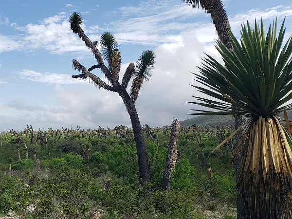
Vegetation
Microphilic and Rosetophilous Scrub
Fauna
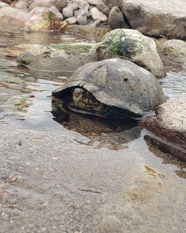
Mammals such as white-tailed deer (Odocoileus virginianus), coyote (Canis latrans), gray slut (Urocyon cinereoargenteus), wild cat (Felis silvestris), various species of rodents and bats, and occasionally puma (Puma concolor); birds of prey such as golden eagles (Aquila chrysaetos), falcons (Falco) and owls, you can also see species such as road runners (Geococcyx californianus) and quails (Colinus virginianus); reptiles such as rattlesnakes (Crotalus atrox), lizards and turtles.
Flora
Small-leaved (microphilic) plants such as grade blood (Jatropha dioica), the Ocotillo (Fouquieria splendens), the governor (Larrea (tridentate) And Rosetophilous Plants Such as Lettuce (Agave lechuguilla) And Other Agaves (Agave spp), varieties of magueyes and lechuguillas such as Palmilla de San Pedro (Leuchtenbergia principis), Deer's hoof (Ariocarpus fissuratus) note (Agave victoriae-reginae) and agave cabbage head (Agave parrasana); trains such as Mahuehuete or Sabino (Taxodium mucronatum), the Willow (Salix nigra), the soap (Sapindus saponaria), among others.
Certifier
Protocol
Verifier
(02)
The activities
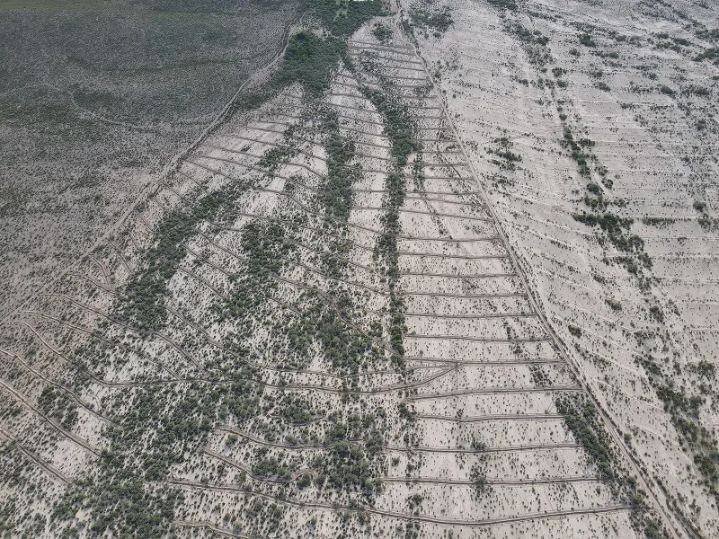
On-the-Ground Action
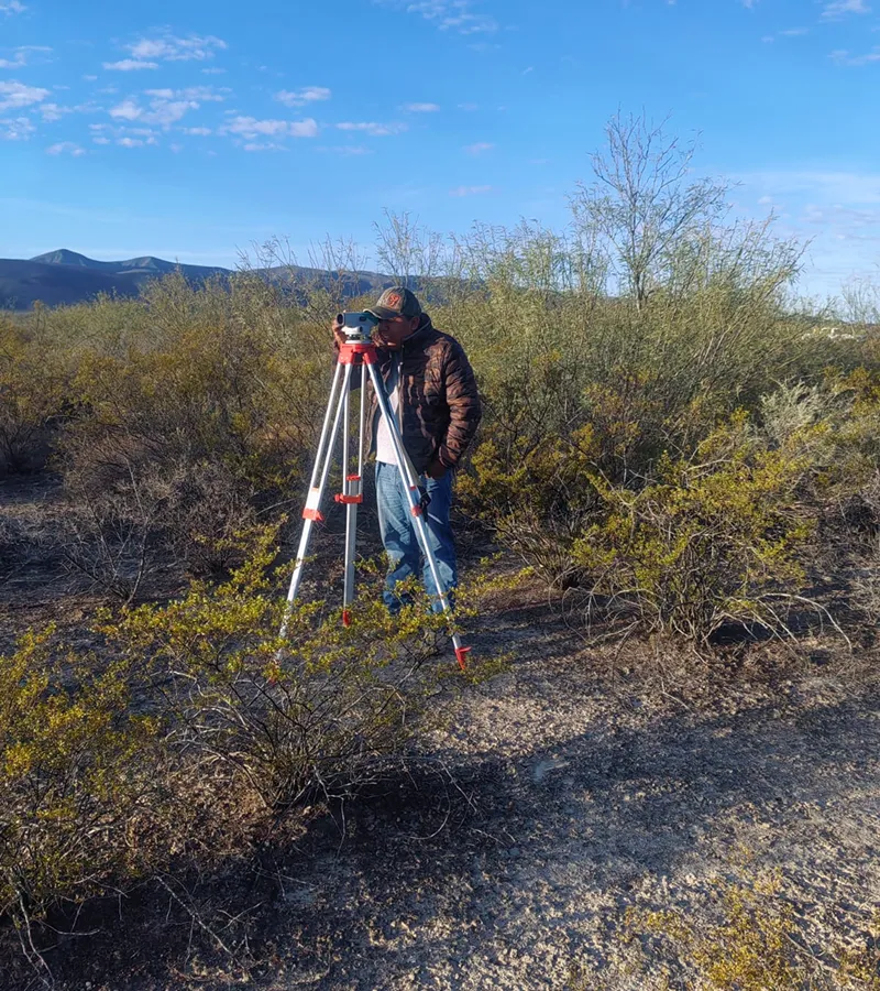
Environmental Analysis and Management
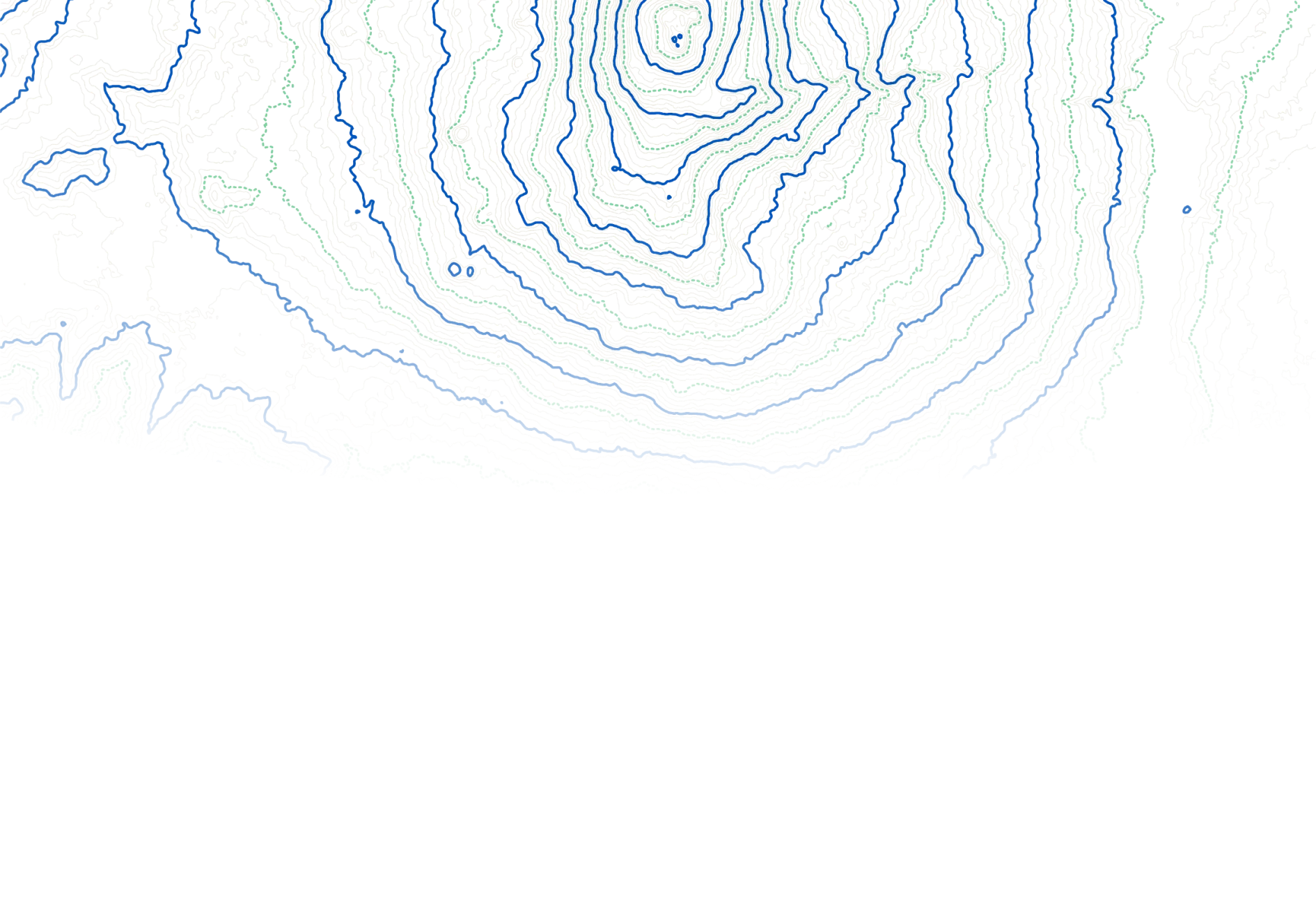
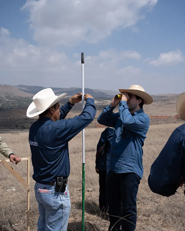
The territorial analysis covered 304,231.34 hectares of commonly used land. Areas were prioritized based on criteria such as slope, percentage of clays, proximity to the water network and land use.
Identifying Priority Areas
Using GIS and multi-criteria evaluation, areas with moderate (54.38%), high (42.95%) and very high (0.91%) priority for interventions were identified. In addition, soils were characterized with 51 samples, analyzing texture, water retention and organic matter.
Planning Restoration Efforts
Intervention parks were defined in ejidos such as Barreal de Guadalupe and Fichi de Calvo, totaling 560 hectares. This was done with support from the Jimulco Canyon Reserve Foundation.
Hydrological Model
A SWAT model was built from topographic, soil, satellite and climate data to establish an uncalibrated baseline in the RH36db sub-basin.
Hydrological Baseline Analysis
The model covered 45 years and an average rainfall of 265.6 mm. Of this, 13% corresponds to runoff, 6% to infiltration and 80% to evapotranspiration.
Model Insights
The analysis makes it possible to understand hydrological behavior in the region and to support decisions about evidence-based interventions.
NbS
The project will involve 560 hectares with soil and water conservation works, to be carried out between 2024 and 2026.
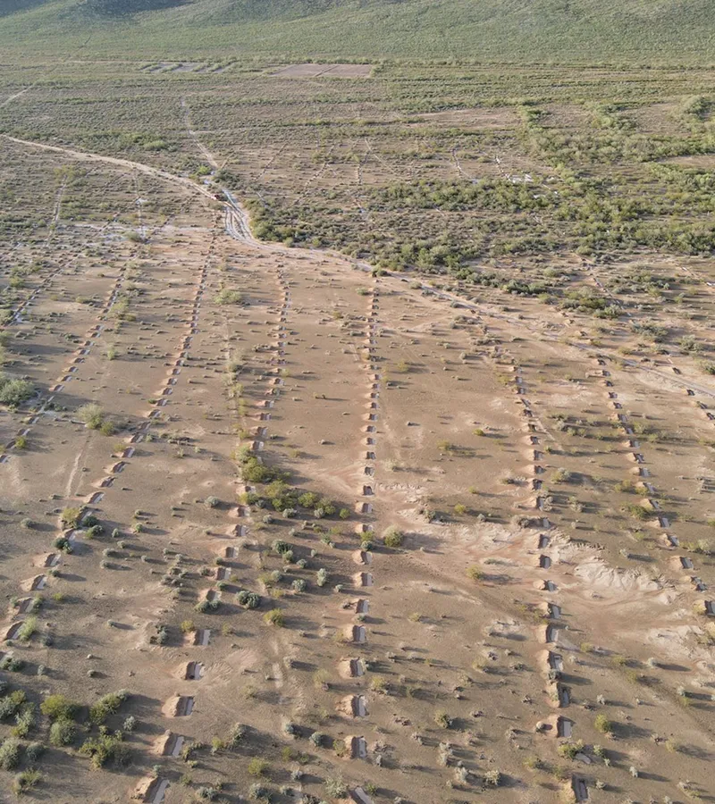
Key Actions Implemented
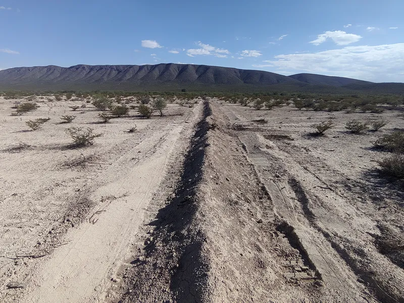
Stone borders, ditches, terraces (individual and macro), manual retention and fencing work are contemplated to protect restored areas and avoid overgrazing.
Objectives of NbS
Reduce runoff, promote infiltration, recharge aquifers and strengthen the water and ecosystem resilience of the territory.
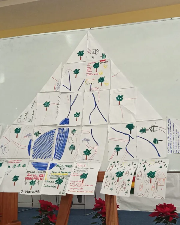
Workshops and Training
Reduce runoff, promote infiltration, recharge aquifers and strengthen the water and ecosystem resilience of the territory.

Workshops Delivered
Workshops have been offered on territorial governance, overgrazing management and selection/care of native species for reforestation.
Impact and Engagement
These spaces promote sustainable practices, the active participation of ejidos and ensure long-term local support for the actions implemented.

(03)
The Turning Point

NbS in Harmony with the Landscape
We carry out a series of soil and water conservation works that mimic natural processes and whose main objective is soil retention, reducing surface runoff and encouraging water infiltration. These actions are carried out in the upper and middle parts of the hills and hills to mitigate the progression of their degradation.

Governance Leads the Way
In ejido and community territories, local governance is the starting point. Communities not only authorize, but they lead the direction of the project: they identify priorities, participate in the design of interventions and guide their implementation. This approach ensures that actions respond to the real context and strengthen long-term ownership of the process.

A Portfolio with a Territorial Approach
Our portfolio ranges from tailor-made projects for companies that seek to compensate for the water they use in specific territories, to collaborative interventions that can be co-financed by different actors through our platform of projects ready to implement.
(04)
The Impact
Conservation with co-benefits

Stewarding the Land for the Future
We conduct regular evaluations to strengthen ecological restoration efforts from the start of the project. This includes ensuring the survival of reforestation areas, effective maintenance of soil conservation works, preventive pest and fire control and, when applicable, monitoring the performance of productive projects.

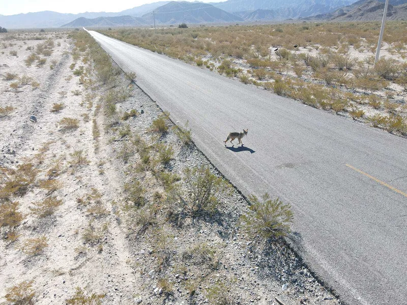
Biodiversity Follows Water
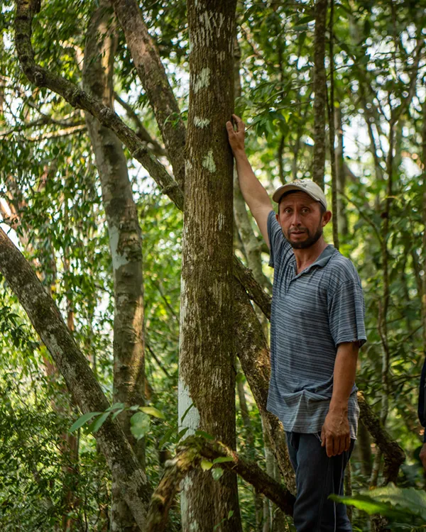
Biodiversity doesn't just enrich the ecosystem: it gives it structure, supports the soil and allows water to infiltrate. Restoring native vegetation through reforestation and assisted regeneration improves habitat quality, stabilizes the landscape and creates shelters for key species.
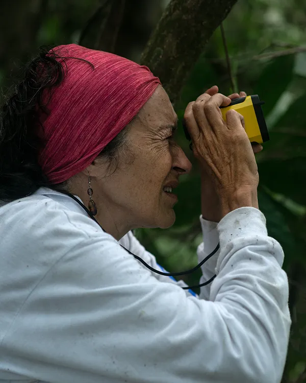
Through active monitoring — such as field trips and camera traps in strategic areas — we evaluate the presence of wildlife and identify areas of ecological connectivity. Thus, we ensure that the restoration not only captures water and carbon, but also recovers the functionality of the ecosystem.
Building Local Capacities
The workshops and training are focused on providing new knowledge to promote a better relationship with nature and to be able to publicize the importance of the actions carried out in each of the Toroto projects. We show how to carry out fieldwork following an internationally recognized methodology. In addition, there are trainings aimed at ensuring the safety of brigade members and workers.
(04)
The Impact
Conservation with co-benefits
.jpg)
Stewarding the Land for the Future
We conduct regular evaluations to strengthen ecological restoration efforts from the start of the project. This includes ensuring the survival of reforestation areas, effective maintenance of soil conservation works, preventive pest and fire control and, when applicable, monitoring the performance of productive projects.
Biodiversity Follows Water
Biodiversity doesn't just enrich the ecosystem: it gives it structure, supports the soil and allows water to infiltrate. Restoring native vegetation through reforestation and assisted regeneration improves habitat quality, stabilizes the landscape and creates shelters for key species.
Through active monitoring — such as field trips and camera traps in strategic areas — we evaluate the presence of wildlife and identify areas of ecological connectivity. Thus, we ensure that the restoration not only captures water and carbon, but also recovers the functionality of the ecosystem.
Building Local Capacities
The workshops and training are focused on providing new knowledge to promote a better relationship with nature and to be able to publicize the importance of the actions carried out in each of the Toroto projects. We show how to carry out fieldwork following an internationally recognized methodology. In addition, there are trainings aimed at ensuring the safety of brigade members and workers.
Regenerating nature, one project at a time
We do important things differently.